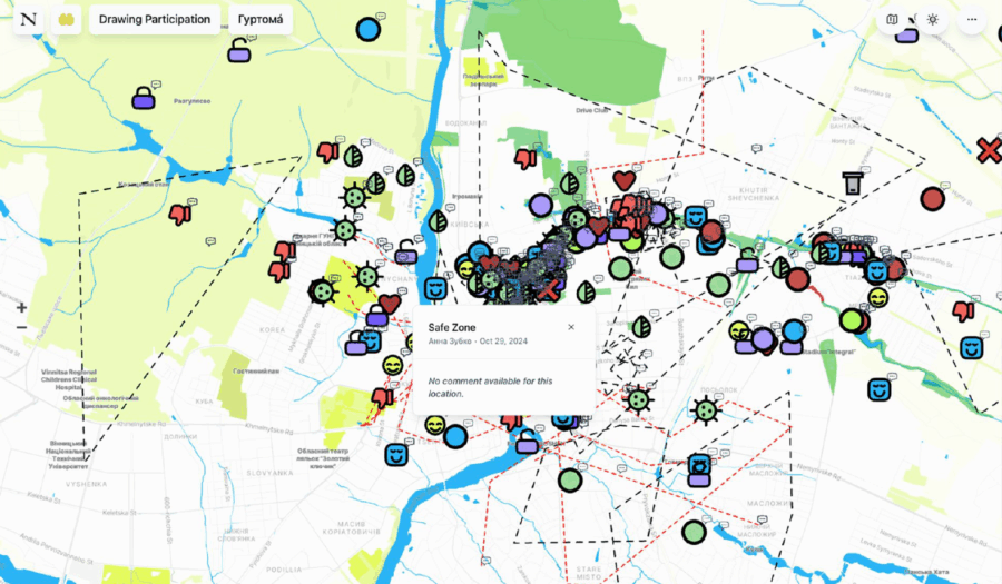
Drawing Participation (DP) is an open-source digital toolkit that enables local governments and community organizations to create custom participatory mapping and design platforms for urban planning. DP explores how real-time, multi-user collaborative design platforms can enable community design and data collection, design synthesis, and deliberation.
DP also enables users to provide feedback, modify, contribute to, or create urban design and planning proposals. Similarly, DP builds on top of existing planning deliberation applications by providing, both, a space for discussion, and design and simulation capabilities to enable users to respond to such policy and design deliberation in a geospatial context. Community members can deliberate through the toolkit’s novel spatial version control system, which facilitates the management of many user proposals, and an interface for synthesis of multiple recorded resident proposals.
DP provides several semantic models that allow users to jointly design and plan interventions, to comment on existing proposals, to crowd-source civic data, and to collaboratively express subjective experiences, needs, and perceptions of their communities. The application is built as a fully web-based, single-page architecture, which enables it to be collaborative in real-time, platform-agnostic and broadly accessible. DP provides a platform agnostic API and data models, which enable users to connect to different cloud-based NoSQL databases for data storage.
